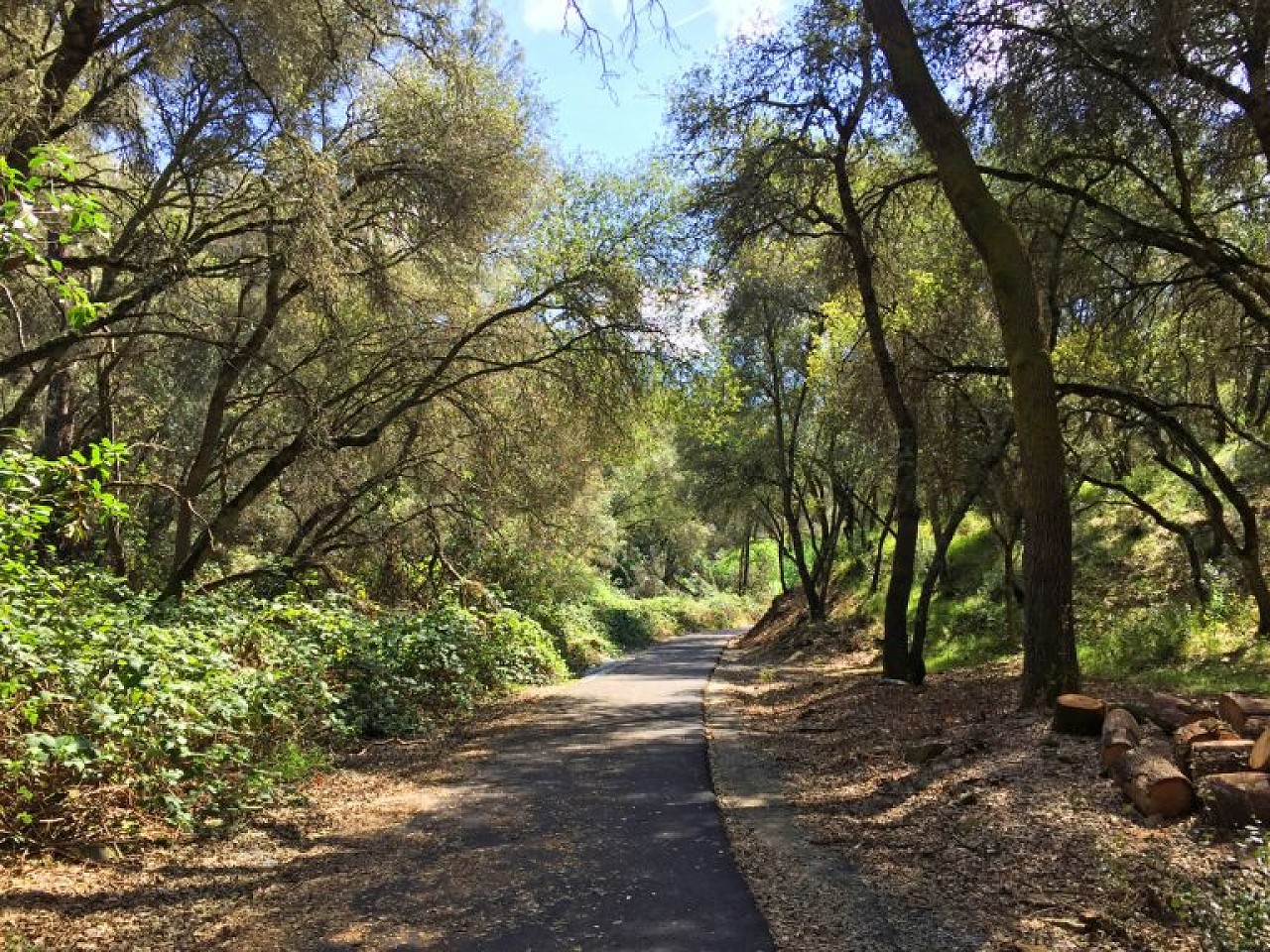


A 2.5-mile hiking trail system looping through 35 acres of scenic oak woodland.
Located in the heart of the City of Sonora, the Dragoon Gulch Trail provides its visitors with a unique opportunity to stroll through the Mother Lode’s oak woodlands. The Dragoon Gulch Trail provides over 3.1 miles of natural trails. The trails travel along a seasonal creek to vistas that provide spectacular views of the City and its surrounding mountain ranges. The trails vary in difficulty making it perfect for the casual walker and for those who want a strenuous hike, jog or bike ride.
The City of Sonora hopes you enjoy your visit to the Dragoon Gulch Trail. The city does not take responsibility for personal injury or losses while visiting the Trail.
Not only is Sonora the lone incorporated city in Tuolumne County, but with a population of just under 5,000, it’s also the largest. It was settled by Mexican miners during the early gold rush in 1848, and subsequently nicknamed the Queen of the Southern Mines. Located at the intersection of historic Highway 49 and well traveled Highway 108, this bustling burg sees its fair share of visitors. That said, it’s also home to a secluded creekside trail that offers folks a chance to enjoy the quieter side of city life.
Part of the larger Dragoon Gulch Trail, the accessible creekside trail is pretty easy to find. Just head north on Highway 49 through the center of town, and bear left at the red church. Go through the first intersection, then make a right on Calaveras and a left on Alpine. Bear left at the next intersection, and look for the trailhead and parking area at the end of the street. And if you need a GPS reference, 545 Alpine Lane will get you pretty close.
Accessible parking is available in the paved lot, with barrier-free access over to the trailhead. The wide, level, paved trail winds through the woods alongside the creek. Trees line both sides of the half-mile trail, which offers some shady respite in the summer. The trail ends at North Woods Drive, but it’s a pleasant out and back jaunt. Plan ahead though, as there are no restrooms at the Alpine trailhead.
Trail Information:
TRAIL ACCESS DIRECTIONS:
PLEASE DO NOT!

