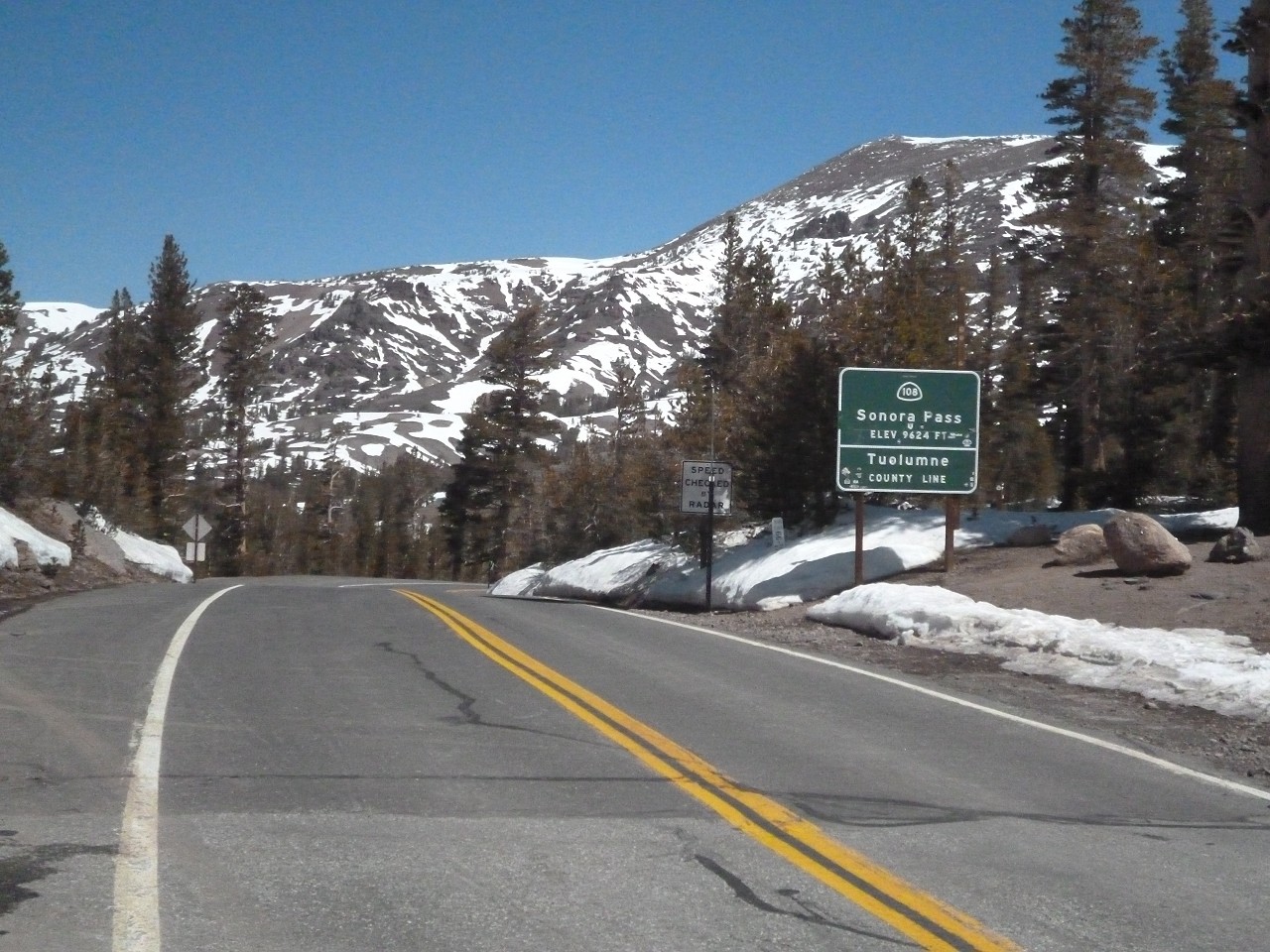


Sonora Pass is the second-highest highway pass in the Sierra Nevada, lower by 321 ft. than Tioga Pass to the south. State Route 108 traverses the pass.
The Scenic Highway 108 Sonora Pass route begins at an elevation of about 3,000 feet, and rises to an elevation of 9,628 feet above sea level. The pass connects the communities of Sonora to the west and Bridgeport to the east. Like Most high elevation passes across the Sierra Nevada, the highway is closed in the winter, generally between November and May, due to large quantities of snow.
The highway over the pass is extremely steep, narrow and winding between Kennedy Meadows on the west side to Leavitt Meadows on the east. The route is not recommended for vehicles or vehicle combinations that are unusally wide, heavy or long. Adjacent to the summit of the pass is a picnic/parking area to nearby Sonora Peak, Wolf Creek Lake, and other spots north or south along the Pacific Crest Trail.
This scenic route goes right through Yosemite National Park, and connects Crane Flat on the west with Highway 395 on the east. The 39-mile road features some of the most dramatic scenery in the park, as it transitions from forests and meadows to lakes and granite domes, before it crosses Tioga Pass at the 9,945 foot elevation point.
There are a number of scenic viewpoints along the way, but Tenaya Lake is a must-stop. The most accessible spot to take in this alpine lake is the easternmost one, which features a large parking lot with accessible parking spaces. From there, an accessible asphalt and boardwalk path winds through the forest, crosses a bridge and ends on the lakeshore. There are several picnic tables there, but the accessible one is set on an asphalt pad, while the others are in sand. It’s a pleasant spot to enjoy the view, even if you don’t pack along a lunch.

